
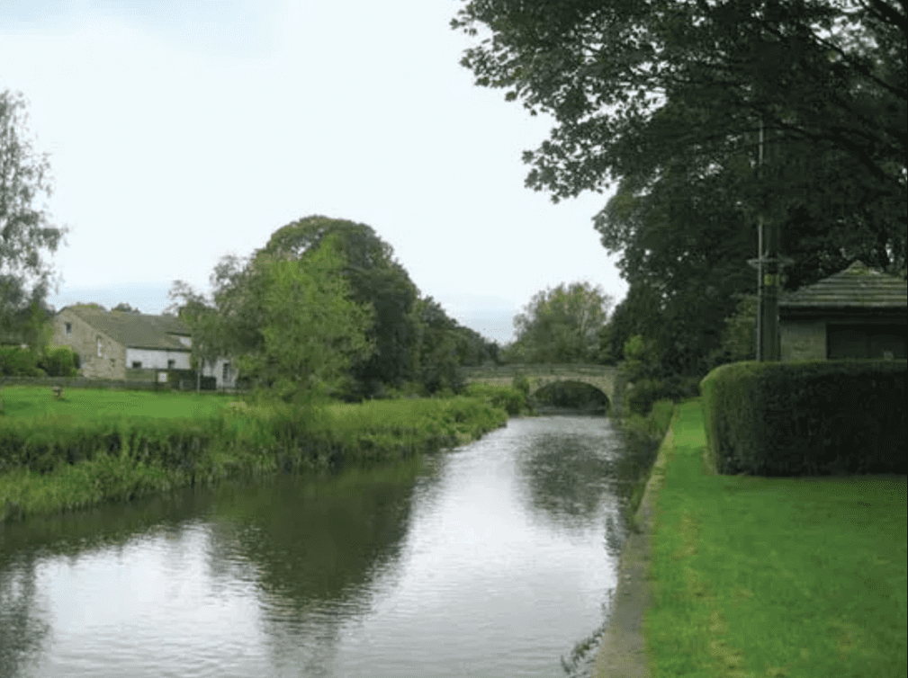
The River Aire is a prominent waterway in Yorkshire, originating from Malham Tarn and flowing southeast through West Yorkshire and parts of North Yorkshire before joining the River Ouse. Stretching 148 kilometers, this river has shaped the landscape and history of Leeds and its surroundings. Next on leedsname.
Origins and Etymology
The name “Aire” was first recorded in 959 AD, with its exact etymology remaining unclear. Possible origins include:
- The Brittonic term isarā (“strong”),
- The Welsh word aer (“slaughter”),
- Or the Old Norse word eyjar (“islands”).
Leeds owes much of its formation to the River Aire. The deposits of silt from the river’s tributaries, Meanwood Beck to the north and Hol Beck to the south, created a crossing point and settlement that evolved into modern-day Leeds.
- During the 1683-1684 frost, the River Aire in Leeds froze for a month, allowing a fair with roasted ox and sports to take place on the ice. Historian Ralph Thoresby documented these events.
- In 1699, an Act of Parliament declared the Aire navigable downstream of Leeds, with later expansions allowing navigation upstream to Bingley.
Environmental Challenges and Restoration
The River Aire faced significant pollution, especially during the 19th and 20th centuries, leading to a loss of aquatic life below Shipley. Efforts to restore the river included:
- A 2007 Yorkshire Water upgrade of the Esholt treatment works for £110 million, improving water quality to support freshwater fish.
- Investments of £16 million (2013-2015) in the Castleford wastewater treatment facility, enhancing water quality downstream.
As a result, species such as Eurasian otters and European water voles have returned, and the river now supports aquatic life throughout its length. The Aire also boasts natural reserves like Rodley, Kirkstall Valley, St. Aidan’s, and Fairburn Ings, contributing to biodiversity.
Flood Prevention Measures
Flooding remains a concern, prompting innovative solutions:
- In 2017, Crown Point near Leeds city center and Knostrop saw the installation of two movable weirs, the first of their kind in the UK. These can lower by “deflating” a rubber component, reducing upstream flood levels by up to one meter.
- Phase two of flood mitigation began in 2019, focusing on natural flood management strategies, including pilot schemes valued at £500,000 to slow water flow.
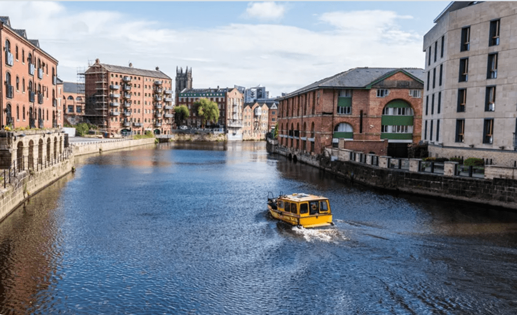
Navigation and Recreation
The River Aire supports navigation along much of its length, with Crown Point in Leeds marking the farthest western navigable point for boats. Activities such as rowing and canoeing are popular, with clubs like the Bradford & Bingley Canoe Club and the Bradford Amateur Rowing Club offering opportunities for water sports.
The River Aire has been integral to Leeds’ development, shaping its history, environment, and recreational landscape. Efforts to restore and preserve its ecosystem highlight the city’s commitment to sustainability while maintaining the river’s role as a hub for navigation and leisure.